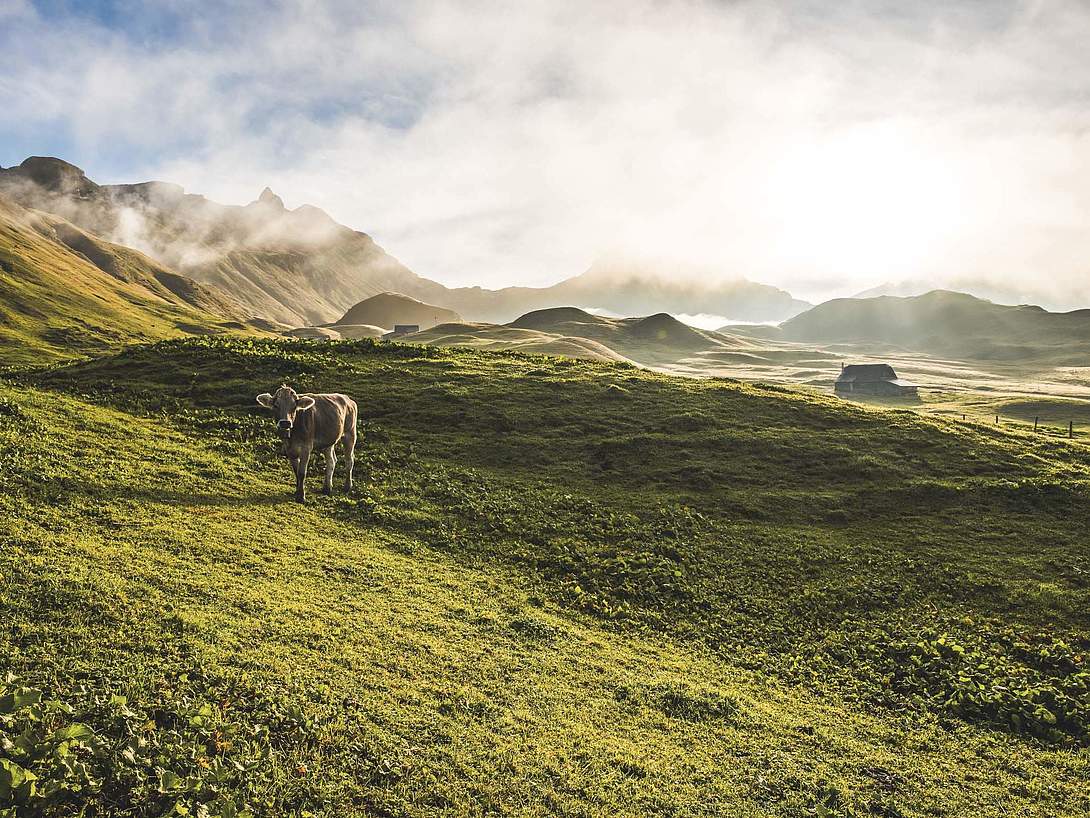
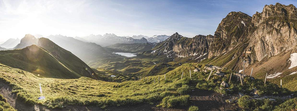
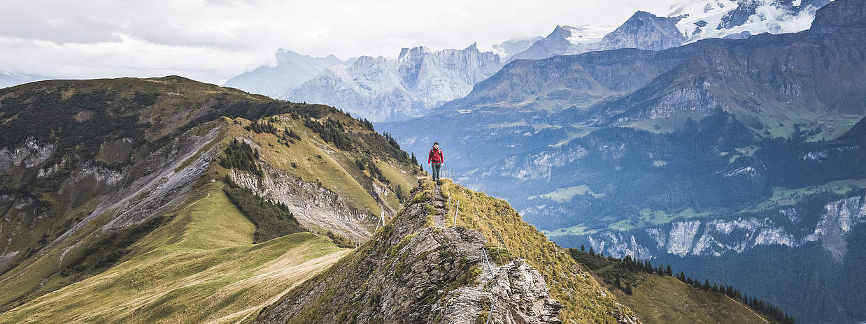
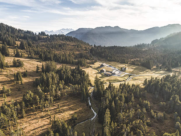
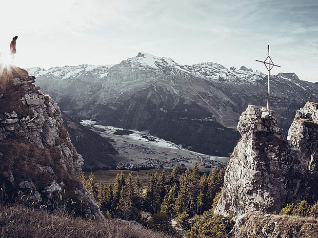
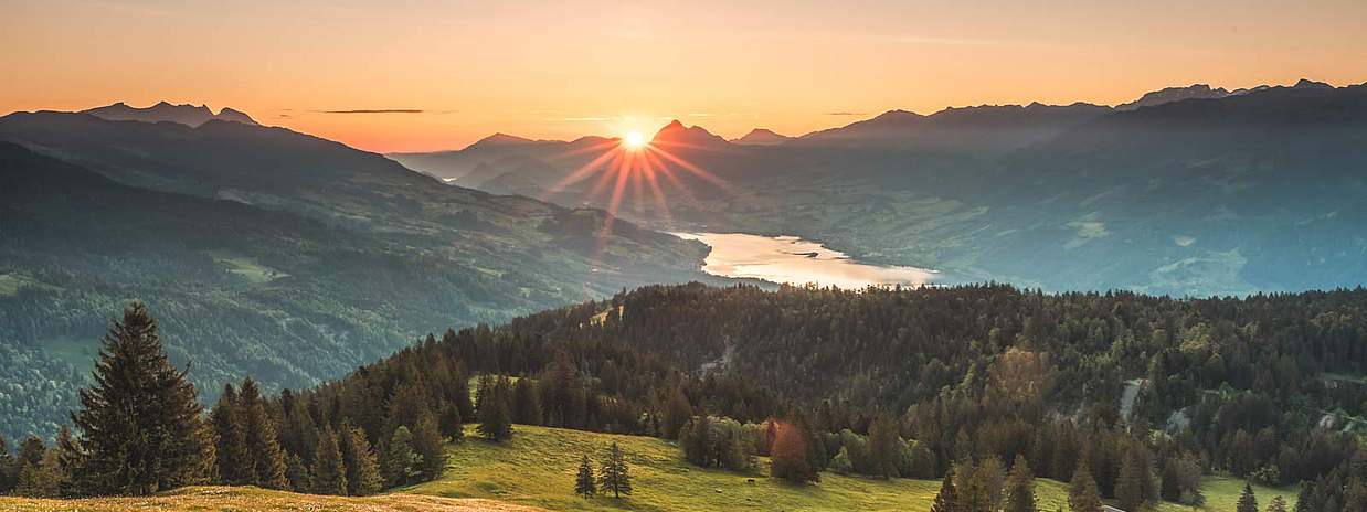
spinner

Four Lakes MTB Tour

Route
Mountain Bike
Length
29.2 km
Travel time
approx. 5 h
Tour details
Tour details
Four Lakes MTB Tour
Vier-Seen-Bike-Tour
Photo: Obwalden Tourismus, Obwalden Tourismus
Four Lakes MTB Tour
Vier-Seen-Bike-Tour, Flowtrail
Photo: Obwalden Tourismus, Obwalden Tourismus
Four Lakes MTB Tour
Vier-Seen-Bike-Tour, Flowtrail
Photo: Obwalden Tourismus, Obwalden Tourismus
Four Lakes MTB Tour
Vier-Seen-Bike-Tour, Flowtrail
Photo: Obwalden Tourismus, Obwalden Tourismus
Four Lakes MTB Tour
Vier-Seen-Bike-Tour
Photo: Obwalden Tourismus, Obwalden Tourismus
Four Lakes MTB Tour
Vier-Seen-Bike-Tour
Photo: Obwalden Tourismus, Obwalden Tourismus
Four Lakes MTB Tour
Vier-Seen-Bike-Tour
Photo: Obwalden Tourismus, Obwalden Tourismus
Four Lakes MTB Tour
Vier-Seen-Bike-Tour
Photo: Obwalden Tourismus, Obwalden Tourismus
Four Lakes MTB Tour
Vier-Seen-Bike-Tour
Photo: Obwalden Tourismus, Obwalden Tourismus
Four Lakes MTB Tour
Vier-Seen-Bike-Tour
Photo: Obwalden Tourismus, Obwalden Tourismus
Four Lakes MTB Tour
Vier-Seen-Bike-Tour
Photo: Obwalden Tourismus, Obwalden Tourismus
Four Lakes MTB Tour
Vier-Seen-Bike-Tour
Photo: Obwalden Tourismus, Obwalden Tourismus
×
The Four Lakes MTB Tour delights with magnificent views of the mountain panorama and with crystal-clear lakes, by which you can take a break after the physically demanding ascent.

From Engelberg railway station, the starting point of the Four Lakes Bike Tour, you ride to the lower terminus of the TITLIS cableways and continue left along the metalled Gerschnistrasse (you must expect works traffic on the road) towards Untertrübsee. Past the Untertrübsee alp, a gravel path turns off to the left after about a kilometre. From there on, strong legs are required. The coarse gravel places high demands on fitness and riding technique. The views of the Titlis and the knowledge that a chairlift will take you to the top will help you forget the strain. The 400-plus metres in elevation gain from Lake Trüb to the Joch pass can be mastered with the chairlift. From here, the route takes you along a beautifully designed single trail (1 metre wide) towards Lake Engstlen. Need a short break? Cool off in the crystal-clear glacier water. Once you have passed the lake, you follow a stretch of approx. 600 m along the Spycherflue up to Tannalp. Now you follow a wide metalled road along deep blue Lake Tannalp and beautiful alpine pastures, descending gently towards Lake Melch. Once you arrive at Melchsee-Frutt, take Melchtalerstrasse to Stöckalp.

The route can also be completed in reverse.

Technical details

Tour type
Mountain Bike
Starting point
Engelberg
Point of arrival
Stöckalp
Difficulty
Medium
Condition
3 / 6
Ascent
1380 m
Descent
1308 m
Best Time of Year
July, August, September, October
Safety information

Expect works traffic on the road between Gerschnistrasse and Untertrübsee.

Melchtalerstrasse leading down to Stöckalp is only passable at odd hours (e.g. 11.00-11.40 hrs).

Equipment

Engelberg’s sports shops have a wide range of bikes and cycling accessories for sale or hire. It’s also worth stopping by if your bike is in need of repairs or replacement parts.

Export
GPX Download

Good to know

Arrival / Return journey
Mit dem Auto fahren Sie auf der A2 (Basel-Gotthard) bis Stans Süd, dann auf der Hauptstrasse 20 km nach Engelberg. Engelberg liegt 30 Minuten von Luzern, 1 Stunde und 15 Minuten von Basel, Zürich oder Bern.
Accessible by bus and train
No
Public transport
Nationale und internationale Verbindungen (ab Zürich Flughafen Verbindungen im Halbstundentakt mit ca. 1h Fahrzeit) bis Luzern. Danach mit der Zentralbahn in 43 Minuten durch abwechslungsreiche Landschaft und Schluchten hinauf nach Engelberg.
Further information & links