


Listen to Obwalden
Immertag Podcast
The Immertag podcast regularly features stories
in Obwalden dialect by Elisabeth Zurgilgen, for many years the narrator of "Morgengeschichten" on Radio SRF 1.
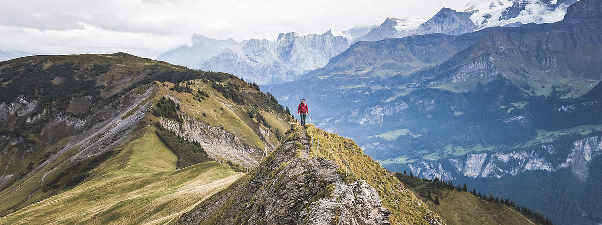
Discover the largest moorland landscape in Switzerland or enjoy the vastness of the Melchsee-Frutt high plateau. Experience a ride on the world's steepest cogwheel railroad up the Pilatus or take the aerial cableway up to the Turren - an ideal starting point for hikes with panoramic views. Follow in the footsteps of the Swiss national saint Niklaus von Flüe in Flüeli-Ranft or stand in the geographical center of Switzerland on the Älggialp.
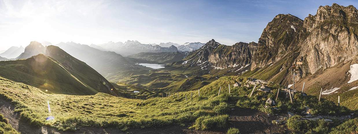
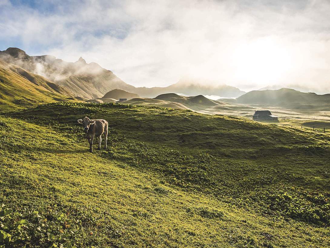
Our unique high plateau
Gentle tourism including butterfly diversity
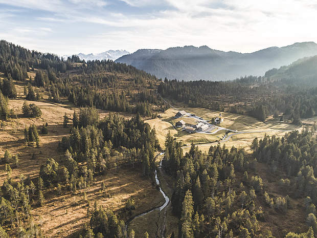
The largest moorland landscape in Switzerland
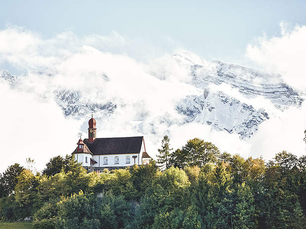
Birthplace and place of activity of St. Brother Klaus

The steepest cog railroad in the world
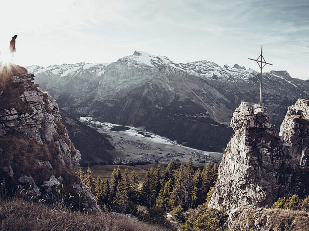
Destination for outdoor and mountain sports adventures
Hiking & family paradise with the best view

The geographical center of Switzerland
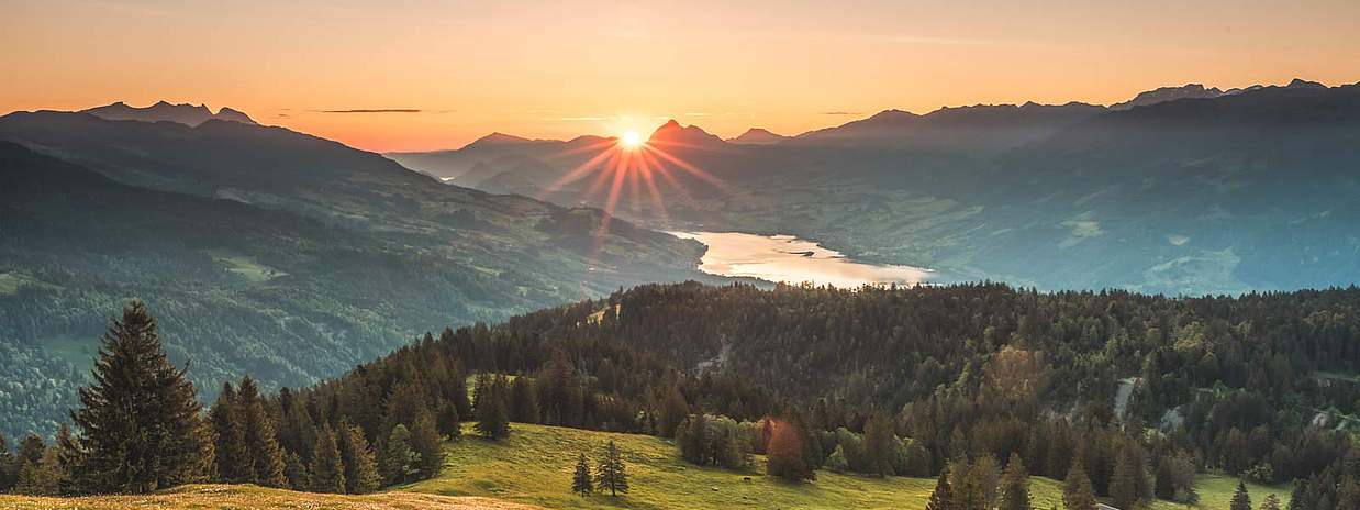
Some enjoy the warm temperatures at the lake in a swimming pool. Others are drawn to higher altitudes to enjoy the view on mountain hikes. Or would you prefer a cozy get-together in the forest with a fire pit and tasty treats from the barbecue? Summer in Obwalden has something for everyone.
Listen to the Obwald song now and immerse yourself - we'll take you on a journey of discovery!
The Immertag podcast regularly features stories
in Obwalden dialect by Elisabeth Zurgilgen, for many years the narrator of "Morgengeschichten" on Radio SRF 1.

Obwalden - in the heart of Switzerland - is surrounded by highlights such as Engelberg and is close to Lucerne and Lake Lucerne. Impressive Alps and lakes come together here to create a diverse travel destination.
Whether hiking, skiing or simply enjoying the local culture - Obwalden has something for everyone.